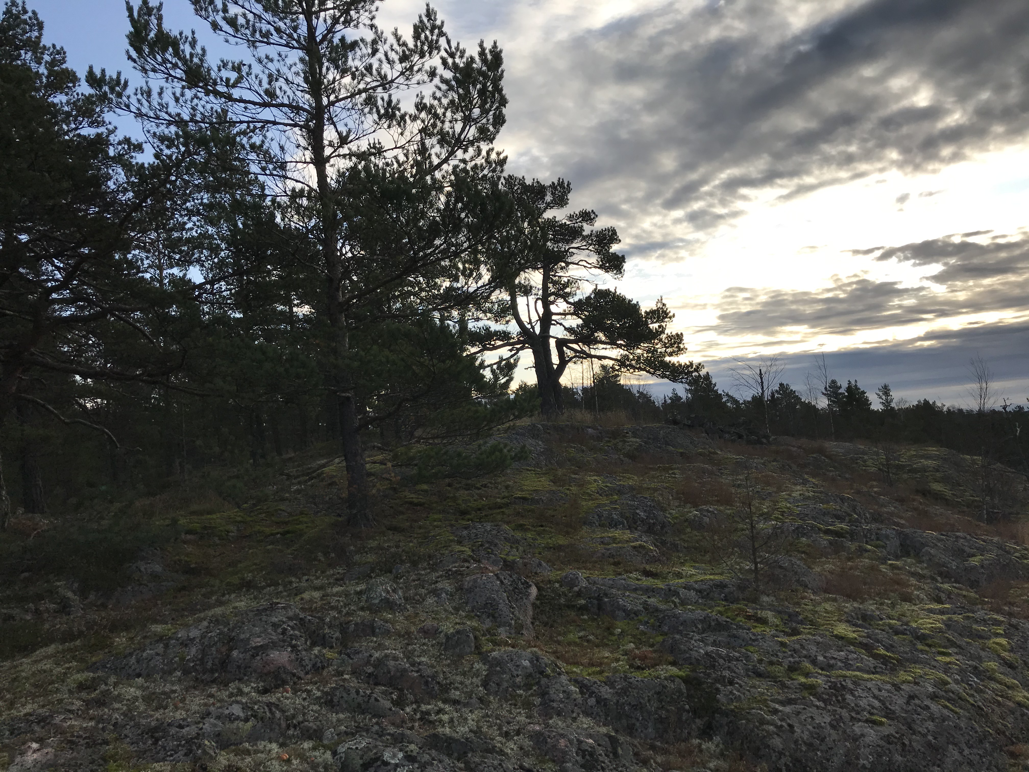
In my post the day before yesterday (Sunday, 3 November 2019) I recounted my wild experience that day following my first visit to Skuruberget, one of the local ancient mounds here in the Fiskars/Pohja region of Raasepori in southwestern Finland. In this post I describe one of the companion mound sites, this time atop Tomtberget, which can be seen in the center of the map segment below:

I deliberately included in this map shot the tiny shopping district of Pohja in order to show Tomtberget’s proximity to Kasberget, the prominent cliff site in the center of town—another berget featuring an ancient mound. We haven’t yet climbed up to the Kasberget site, but I had been aware of this muinaishauta (Finnish for ancient burial site) while we were exploring online photos of the Pohja region before we even moved back to Finland at the end of May 2019. While still in the U.S. I had already tuned in to the Kasberget site and got a sense of its energetic relationship to the power stream flowing from Degersjön Lake just north of Fiskars down along the Fiskars River to Pohja Bay and then down past Tammisaari to the Baltic Sea at Hanko. The energetic complex of this water line is profound, and the five berget-mounted muinaishaudat placed here in Pohja serve as amplifiers of this power line. (I am sure that there are other power sites here as well, but I haven’t discovered their exact locations yet.)
As you can see in the map segment below, Pohja is surrounded by at least five muinaishaudat (listed in green text), each atop one of four stunning rocky mounts, Skuruberget, Tomtberget, Kasberget, and two atop Skurubacken (I just now discovered the second one on the map):

NOTE: In the midst of this writing I have discovered on the map at least twenty more muinaishaudat in the Pohja Bay region. As I mentioned above (before this confirmation), I am sure that there are many such sites in this area. That opens up a whole new field of geomantic engagement for me, but for now I will try to simply describe our experience at Tomtberget yesterday. Now, back to my report:
Yesterday morning after dropping my son off at his preschool, I climbed up Tomtberget to find the stone mound I had discovered the day before on the map. (I plan to visit each site that is listed and to discover others that might be less obvious and not listed on the map.) It was a cold and cloudy morning, which actually framed the whole experience in a beautiful Wuthering Heights mood as I climbed high up on the rocky crags above the “moors.” The deer trails, as always, were the best guide for finding the site as I worked my way through the spruce forest and up onto the rocky cliffside. Unlike the mound at Skuruberget, this sacred site is very prominent and impossible to miss.
Given the profoundly disorienting effect of the Skuruberget mound the day before, I approached this site very cautiously, grounding myself with various spirit intonations and chakra clearing. I also made sure not to step onto the stones themselves, which I am convinced was the source of my disorientation on Sunday. This is always a good rule of thumb when approaching sacred sites and other power points and portals: do NOT enter these power zones until it is clear that doing so is not only safe but also appropriate. I had been too eager on Sunday to follow this simple rule, but I made sure not to repeat that mistake on Monday.
I did not engage with the power of the Tomtberget Mound—I will wait for the proper signs alerting me to this action. I simply stood there in reverent awe, documenting the site with my camera. When I explore the power dimensions of this site in the future, I will write up a report. But at the present moment I will simply present a few of the photos I took both in the morning (alone) and then at dusk with Kivi and Anna.


Leave a Reply